
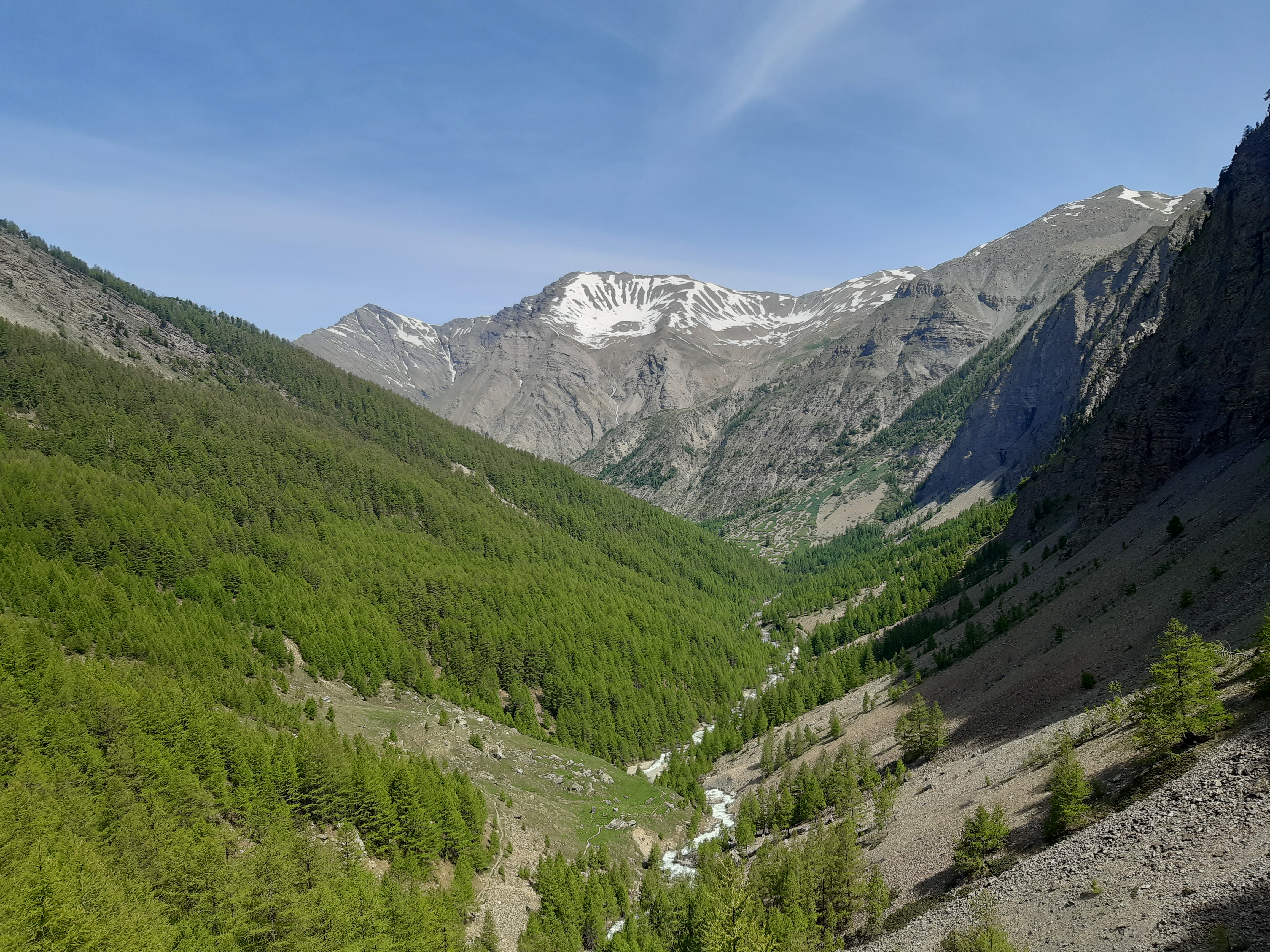
The Razis Waterfall
 Easy
EasyThe "subalpine" stage in all its splendour could be the motto of this hike. All the ingredients are there: from agricultural lands at the start, steep south-facing slopes, a larch forest on the north side, a stream, and a mountain waterfall.
Important information
Dans le Parc national des Écrins, les sentiers sont généralement praticables de la mi-juin à fin septembre.
Toutefois, les périodes d'accessibilité des itinéraires et les dates de pose des passerelles varient d’une année à l’autre en fonction de l’enneigement, des dégâts survenus en hiver et des conditions météorologiques. Par ailleurs, l’état des sentiers n’est pas contrôlé quotidiennement et peut évoluer rapidement après un évènement météorologique (orage, crue...). Il est nécessaire de se renseigner auprès des maisons du parc national et des offices de tourisme du territoire avant votre sortie. Pendant la randonnée, en cas de passage dégradé ou dangereux, faites demi-tour et signalez-le.
Description
- The start is from the Plan Bridge car park. Follow the path along the stream amid the larches towards the fairy trail. Cross the river three times within a few hundred meters without ever leaving the banks. Some contemporary art pieces can be seen along the path.
- Continue on a small path along the stream when the path you are on makes a left turn. Take a right 150m later on a path that becomes wider, then left after the bridge onto a small path in a landscape that begins to open up onto alpine meadows.
- Turn left at the Chenevier Canal sign when the waterfall seems to be right above the path. Exercise greater caution until you reach the torrent. The path becomes narrow, very steep, and sometimes exposed to splashing foam. Progress is through a scree slope. Return to the Chenevier Canal sign along the same route to resume the loop. Follow the direction of Plan Bridge straight ahead when returning from the waterfall via a narrow path in the heart of the pastures. Continue straight ahead past the cabin and the explanatory panel, then the path enters a larch forest again. After a few hundred meters, take a right at the intersection to follow a small path. Take a right at the wooden car. The path begins to descend. Go straight ahead at the next intersection and again at the one after that, continuing in the larch forest. Join a wide grassy path that bends to the left, then take a path on the right in the forest 20m further on.
- Turn right at the Pré Vayer sign via a steeply descending path. Turn right once on the Parpaillon pass road, then return to the parking lot.
- Departure : Plan bridge, Crévoux
- Arrival : Plan bridge, Crévoux
- Towns crossed : Crévoux
Forecast
Altimetric profile
Transport
Public transport : ccserreponcon.com
Access and parking
Follow National 94 from Gap or Briançon, then take the D39 towards Crévoux at Embrun. Continue straight towards the Parpaillon pass 2 km before Crévoux. The car park is 800m after the hamlet of La Chalp.
Parking :
Source

Report a problem or an error
If you have found an error on this page or if you have noticed any problems during your hike, please report them to us here: