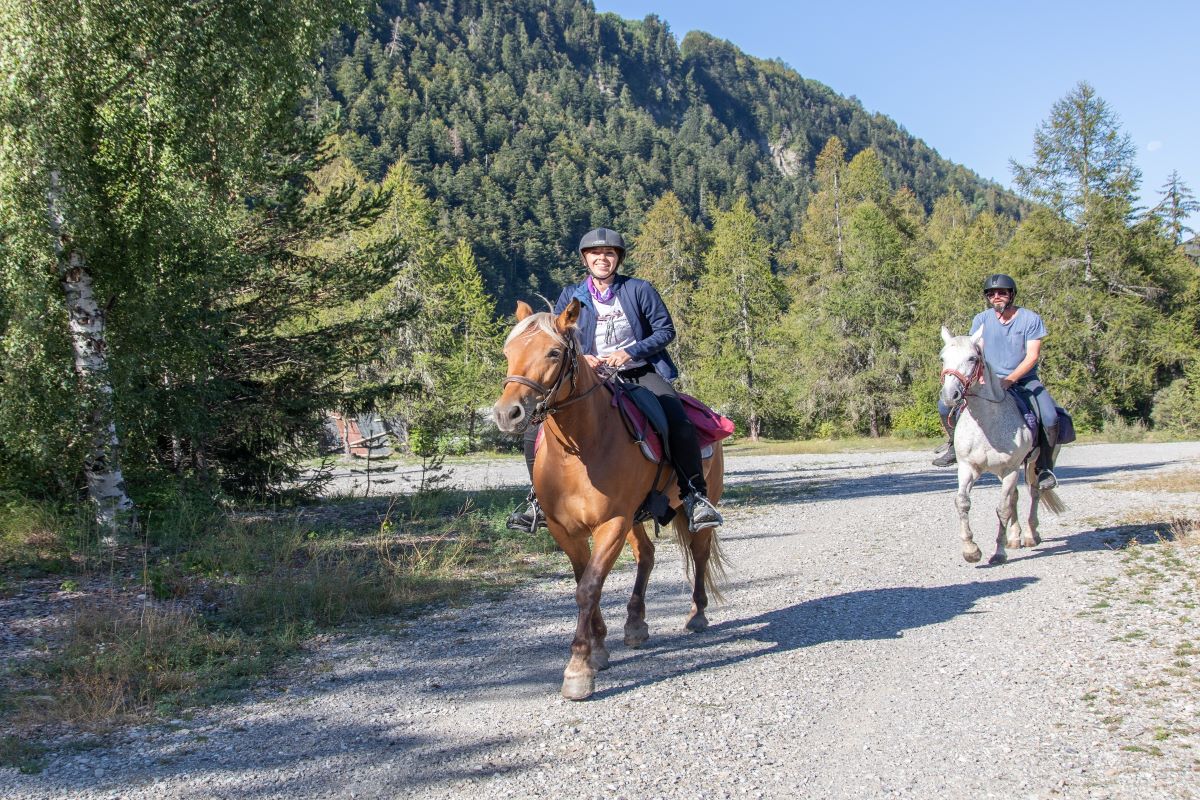
Weekend in Champsaur
Description
- Departure : Gap Bayard
- Arrival : Le Domaine
- Towns crossed : Gap, Laye, La Fare-en-Champsaur, Saint-Bonnet-en-Champsaur, Saint-Julien-en-Champsaur, Buissard, Chabottes, Forest-Saint-Julien, and Saint-Laurent-du-Cros
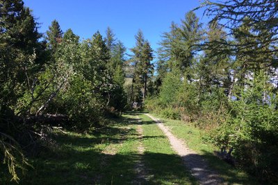
4 points of interest
 Know-how
ONF
The work of the Office National des Forêts (National Forestry Office) is not limited to the forests. After buying a large amount of land following the rural exodus (public land), the state delegated to the Water and Forestry agency the difficult task of preserving the natural heritage of a large number of areas (restoration of land and building, maintenance of paths, etc.)
 Architecture
Protestant Church of Saint-Laurent du Cros
This is the only Protestant church in the Champsaur and it witnessed the dark period that followed the Revocation of the Edict of Nantes in 1685. Today, with the religious wars firmly in the past, this building is a place of worship and assembly for the valley's Protestants.
Prior to 1685, there were three Protestant churches in the territory, in Saint-Bonnet, Orcières and Ancelle. At that time, when the Duke of Lesdiguières, Jean-François de Bonne, was extending his rule over the Champsaur, Protestants represented a significant proportion of the population. Since this major figure was also the leader of the Protestants, forced conversions were common. But when Louis XIV decided to revoke the Edict of Nantes, all over France pastors were hanged, shot and sometimes sent to the galleys, and Protestant churches were destroyed. In 1789, freedom of religious practice was finally restored.
In the valley, it was not until 1834 - and a ministerial order allocating the sum of one thousand francs for this purpose - that a new church for adherents of the Reformed Church was constructed. But by 1880 the building had become too small and a new church, inaugurated on 26 May 1886, was constructed on its present site, provided by Mr Victor Cesmat.
In 2003 significant restoration work was carried out by the municipality on the entire building.
 Fauna
FaunaMouflon
If you make a detour to the Col de Gleize, you may well see some mouflons. An ancestor of the sheep with ammonite horns, it was introduced from 1949 into the Alps from herds in Corsica and central Europe, and seems well settled in the Chaudun area. Even though the European Union recommends strict protection of the mouflon, it is still hunted during the hunting season. Its populations are ill-adapted to extreme Alpine conditions and can fluctuate according to the winter weather.
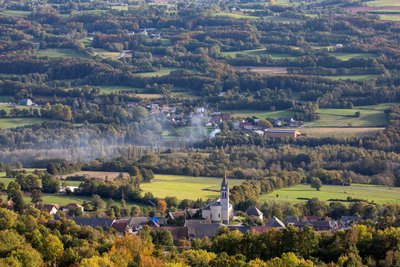
 Panorama
Bayar golf course
The Gap-Bayar golf course is located at an altitude of 1,250m. In the view of specialists, it is one of the finest golf courses in the south of France. The 18-hole course is surrounded with forests filled with wild fruit, mushrooms and wild animals. Near the pastures, where the cows graze, there is a clear view over the Champsaur, the Ecrins and the town of Gap.
Forecast
Altimetric profile
Sensitive areas
Short-toed snake eagle
- Impacted practices:
- Aerial,
- Sensitivity periods:
- MarAprMayJunJulAugSep
- Contact:
- Parc National des Écrins
Julien Charron
julien.charron@ecrins-parcnational.fr
Golden eagle
- Impacted practices:
- Aerial, , Vertical
- Sensitivity periods:
- JanFebMarAprMayJunJulAug
- Contact:
- Parc National des Écrins
Julien Charron
julien.charron@ecrins-parcnational.fr
Peregrine falcon
- Impacted practices:
- Aerial, Vertical
- Sensitivity periods:
- FebMarAprMayJun
- Contact:
- Parc National des Écrins
Julien Charron
julien.charron@ecrins-parcnational.fr
Short-toed snake eagle
- Impacted practices:
- Aerial,
- Sensitivity periods:
- MarAprMayJunJulAugSep
- Contact:
- Parc National des Écrins
Julien Charron
julien.charron@ecrins-parcnational.fr
Recommandations
Access and parking
Parking :
Source

Report a problem or an error
If you have found an error on this page or if you have noticed any problems during your hike, please report them to us here: