
The Liou wetland
 Very easy

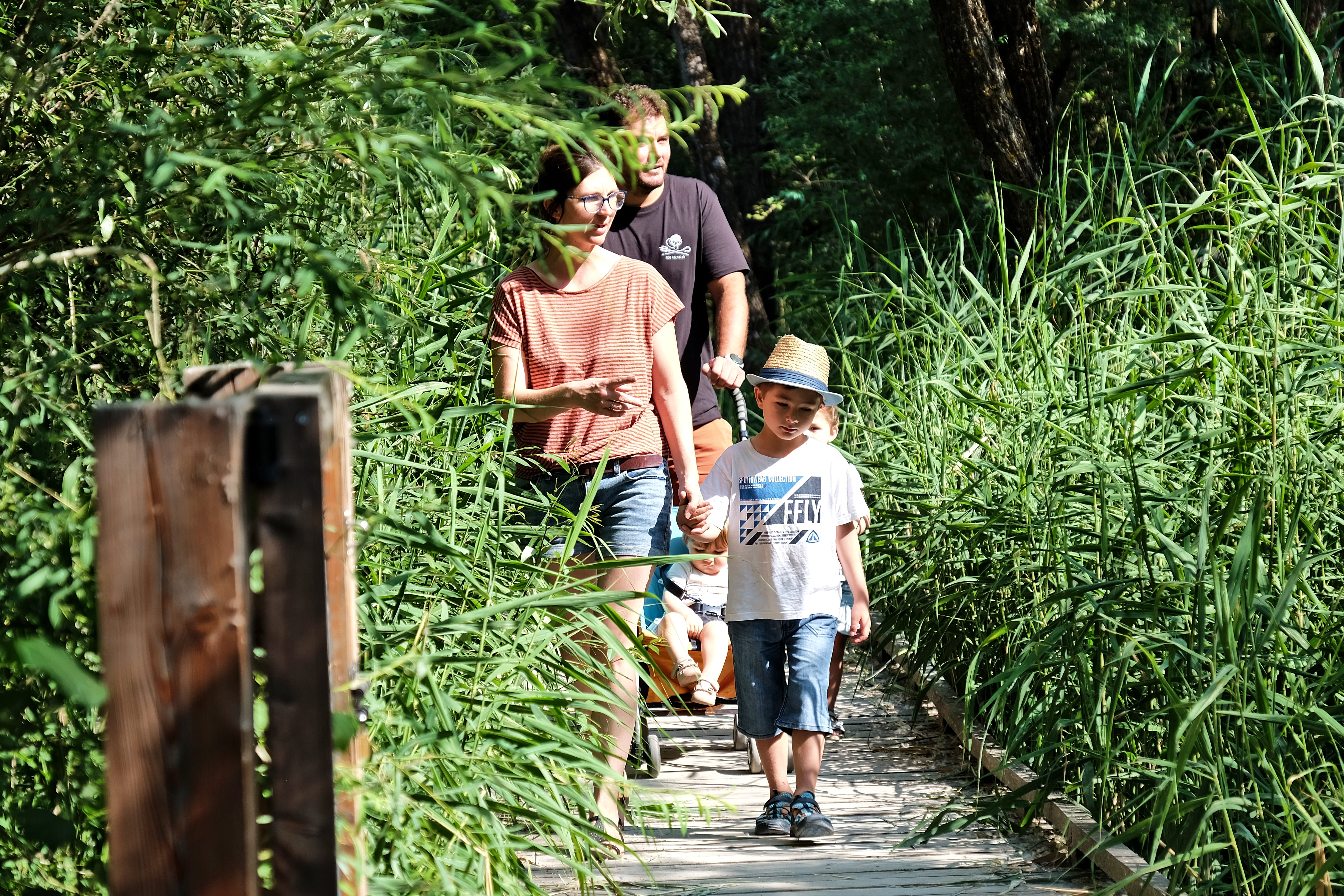
Accessible to all, the trail is made up of a mosaic of landscapes and has been specially designed on stilts to preserve the ecosystem.
Passing discreetly over the water, discover the wealth of natural habitats as you cross a forest drowned in the sandy fill of the Lac de Serre-Ponçon.
And all this right next to a shopping area!
Important information
Dans le Parc national des Écrins, les sentiers sont généralement praticables de la mi-juin à fin septembre.
Toutefois, les périodes d'accessibilité des itinéraires et les dates de pose des passerelles varient d’une année à l’autre en fonction de l’enneigement, des dégâts survenus en hiver et des conditions météorologiques. Par ailleurs, l’état des sentiers n’est pas contrôlé quotidiennement et peut évoluer rapidement après un évènement météorologique (orage, crue...). Il est nécessaire de se renseigner auprès des maisons du parc national et des offices de tourisme du territoire avant votre sortie. Pendant la randonnée, en cas de passage dégradé ou dangereux, faites demi-tour et signalez-le.
Description
At the start of the cul-de-sac used as a car park is the explanatory panel marking the start of the Petit Liou wetland discovery trail.
This is where you can log on to the "eco-balade" page, which serves as a guide and information document for the walk.
Take the path towards the river.
Turn right, and walk down along La Durance.
A hundred or so metres further on, the stilted path begins on the left. It is possible to make a round trip to the end of the dam from this point.
The path is interrupted by a vague track that you must follow in the direction of the lake for around a hundred metres. The path starts again on the left and soon gives way to a wooden footbridge over the water.
Follow the path on stilts along the information panels about the area you have crossed until you reach an observation tower overlooking Lac de Serre-Ponçon. From there, return by the same route.
- Departure : “Les portes du Lac" shopping area
- Arrival : Observation hut at the end of the footbridge
- Towns crossed : Baratier and Crots
2 points of interest

La Durance à sa confluence avec le lac de erre-Ponçon, plan d'eau d'Embrun sur la droite - Agence Kros_Rémi Fabrègue  Water
The Durance
The Durance rises near the Montgenèvre pass and flows into the Rhône near Avignon. It feeds lake Serre-Ponçon and is a real asset to the region's economy, thanks to the host of activities it supports: water sports, hydroelectricity and agriculture. Over 320 kilometres long, it is the most important river in Provence. In the past, the Durance was reputed to be impassable, due to its strong flow and great width.
 Fauna
Pike
A carnivorous fish that can grow more than 1 metre in length, with 700 teeth, it is sometimes nicknamed the "freshwater shark". Don't worry, a pike will never attack a swimmer, but record catches of up to 1.30 metres have made Serre-Ponçon lake famous among anglers from all walks of life.
Sedentary and solitary, pike thrive in calm waters with weak or stagnant currents. In these waters, it chooses places where it can hide (seagrass beds, stumps, etc.). Generally living concealed in vegetation or in the darkness of the seabed, it has a lifespan of 10 to 15 years. It breeds from February to March. From 15,000 to 45,000 eggs can be laid in mid-June as soon as the lake covers the wet meadows in the Liou area.
Forecast
Altimetric profile
Transport
Public transport : ccserreponcon.com
Access and parking
Coming from Gap, at the roundabout on the N94, as you enter Embrun (McDonald's on the left), take the 3rd exit; "Les Portes du Lac" shopping area, on the road of the same name.
Park on the right 200 metres after the roundabout, in a car park opposite the Blackstore Embrun and Intersport shops (sign visible on the left).
Parking :
Accessibility
 Wheelchair
 Joelette
 Stroller
- Accessibility level :
- Beginner
- Emergency number :
- 114
More information


Source
Report a problem or an error
If you have found an error on this page or if you have noticed any problems during your hike, please report them to us here: