
Discovering Les Olliviers
 Very easy
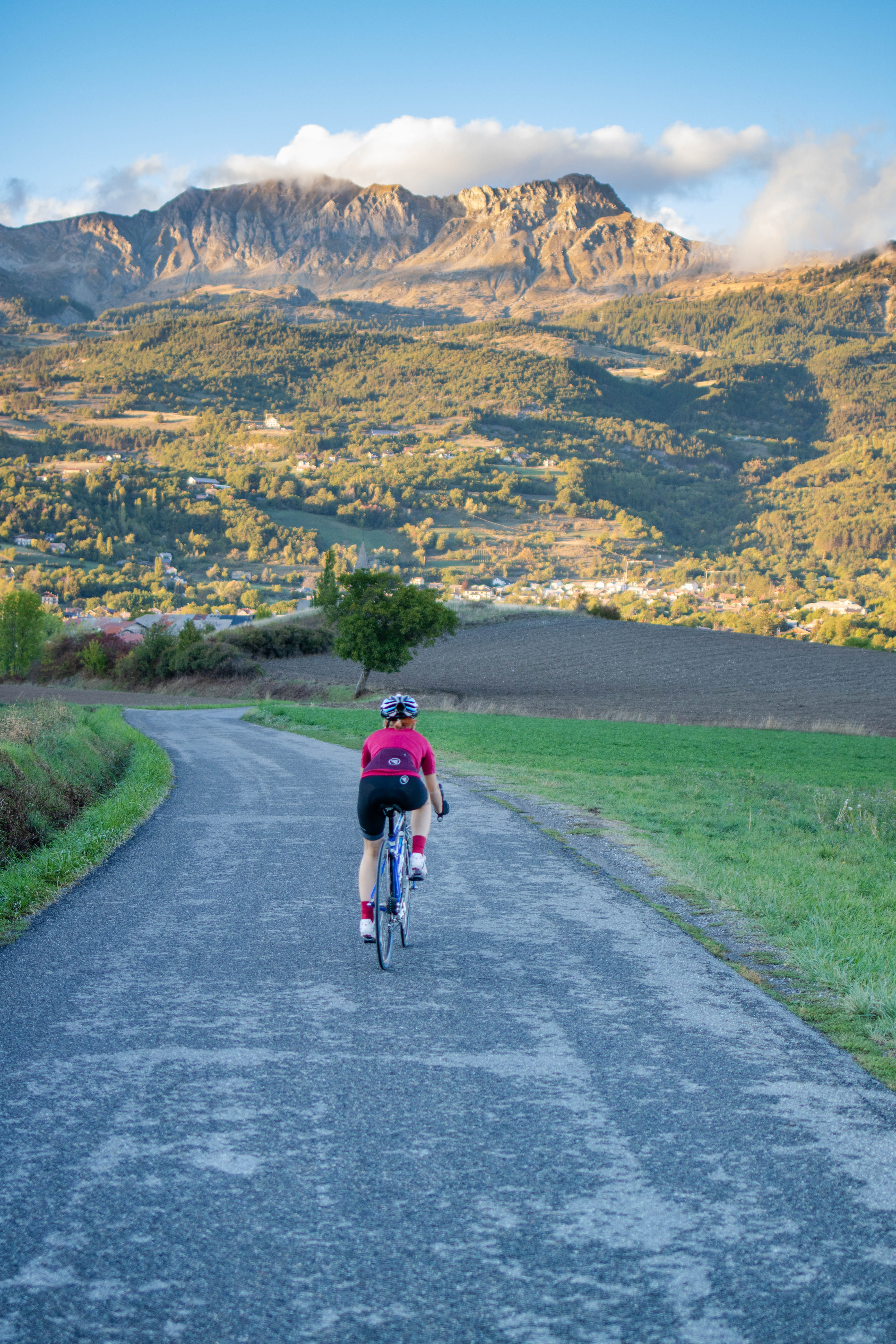
The hustle and bustle of Chorges soon gives way to a calm and serene environment in the heart of the countryside. The initially difficult path becomes much easier when you reach this small plateau suspended in the heart of the mountain. The 360-degree panorama of the surrounding landscape is breathtaking. You cannot fail to be impressed by Chorges, with its 17th-century bell tower.
Important information
Dans le Parc national des Écrins, les sentiers sont généralement praticables de la mi-juin à fin septembre.
Toutefois, les périodes d'accessibilité des itinéraires et les dates de pose des passerelles varient d’une année à l’autre en fonction de l’enneigement, des dégâts survenus en hiver et des conditions météorologiques. Par ailleurs, l’état des sentiers n’est pas contrôlé quotidiennement et peut évoluer rapidement après un évènement météorologique (orage, crue...). Il est nécessaire de se renseigner auprès des maisons du parc national et des offices de tourisme du territoire avant votre sortie. Pendant la randonnée, en cas de passage dégradé ou dangereux, faites demi-tour et signalez-le.
Description
- From Chorges station, follow the railway line then cross it, heading for Montgardin. The road rises slowly until the hamlet of Montgardin comes into view. At the crossroads, take the left fork and follow the road to Champ Peyron.
- Continue on the main road and cross the Jacques and its well-cleared plateau, with a very fine view of various mountain ranges. At the next crossroads, turn left and continue towards Les Olliviers.
- Now embark on a pleasant, gently sloping descent to Chorges. When you reach the N94, follow it for 500m, then turn left to cross it.
- Take the left fork and finally take a few streets to find the station car park.
- Departure : Station car park, Chorges
- Arrival : Station car park, Chorges
- Towns crossed : Chorges and Montgardin
1 point of interest

Le marais - Amélie Vallier  Water
The marsh
n the locality known as Les Olliviers, there is a marshy area. Damp habitats like this constitute rich and diverse ecosystems. Most of them developed naturally. Wetlands have long been regarded as unhealthy and hostile environments. The requirement for urban land led to these areas being dried out. Today, wet areas are recognised for their heritage and functional benefits, as they hold remarkable biodiversity. This new awareness has led to their usage being regulated in order to protect them.
Forecast
Altimetric profile
Information desks

Tourist office Chorges
Grand rue, 05230 Chorges
October to may : Monday to Saturday, 9.00 - 12.30 & 13.30 - 17.00.
April, may, june & september : Monday to Saturday, 9.00 - 12.30 & 14.30 - 18.00
July and August : Monday to Saturday, 9:00 – 12.30 & 14.30 – 19.00 Sunday 9.30 – 12.30
Closed on Thursdays outside French holidays’ periods
Closed on French national holidays, except 14th of July and 15th of August
Transport
From Gap :
- Zou! Network : Line 69 / Frequency : Every 4 hours
Line 530 / Frequency 2 times a day
From Embrun :
- Zou! network : Line 69 / Frequency : Every 4 hours
More information: https://zou.maregionsud.fr
SNCF : TER
More info: https://www.sncf-connect.com
Access and parking
Follow the N94 from Gap or Embrun towards Chorges, then Chorges station.
Parking :
Accessibility
- Emergency number :
- 114
More information

Source

Report a problem or an error
If you have found an error on this page or if you have noticed any problems during your hike, please report them to us here: