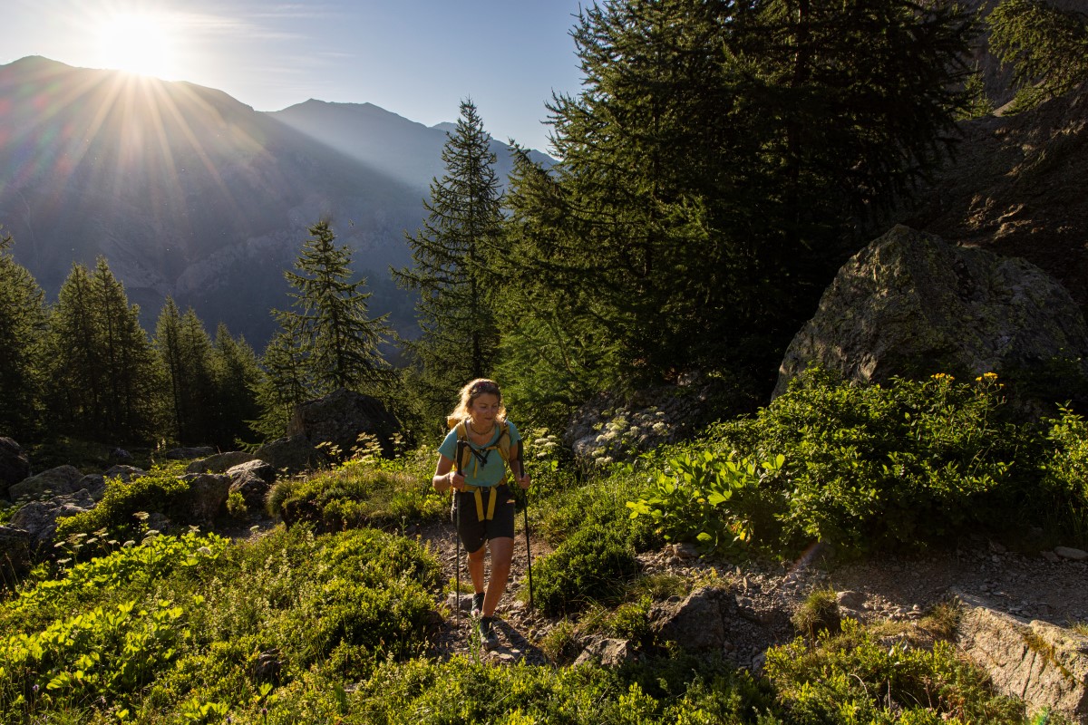
Combeynot Lake
"In the middle of the summer, the valley exposed to the North can be very hot. That’s why I like to go out at sunrise in order to make the most of the cool early morning. just like the chamois who make the most of this calm moment in order to graze.. At 10 o’clock, most of them are sleeping and immobile, dozing and ruminating,you could almost say they are invisible!”
Cyril Coursier, heritage technician in Briançonnais
Description
The unique marked trail starts from the carpark at the edge of Guisane. It goes up on the right bank, with a regular ascent to Pré Chausson then through Fontenil valley. After a slightly more difficult section, the lake is hiding under an overhang in the bottom of the valley. Return using the same itinerary in the opposite direction.
- Departure : Les Boussardes
- Towns crossed : Le Monêtier-les-Bains
6 points of interest
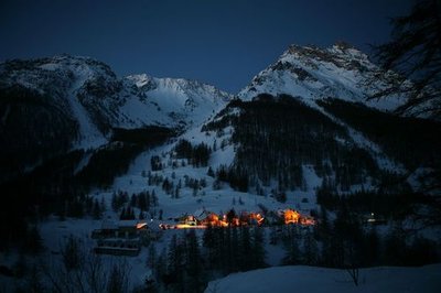
Le hameau des Boussardes au lever du jour - Bernard Nicollet - PNE  Architecture
Boussardes Hamlet
The habitat of Guisane valley is characterized by the small hamlets with character (Le Lauzet, Le Casset, etc.). Here, the small hamlet of Boussardes charms visitors with its houses with typical architecture squeezed against one another.
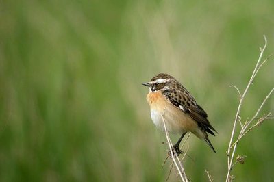
Tarier des prés - Damien Combrisson - PNE  Flora
FloraHayfields
Around Boussardes hamlet, the hayfields are maintained, by the agricultors, sheltering in the summer exceptional biodiversity: Whinchat, red backed shrikes, Mountain Apollo butterflies.
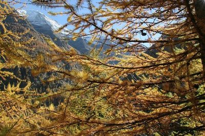
Mélèzes d'automne - Robert Chevalier - PNE  Flora
FloraLarch
The larch is the only European resinous tree to lose its needles in winter. Its wood is red brown. In the landscape, its colours are striking going from tender green in the Springtime to the colours of Autumn. Its pink flowers seduce the naturalists and the photographers in Springtime. If it puts up with harsh mountain conditions the larch does not tolerate competition from other trees. Just above Boussardes hamlet you can observe the installation of the forest in the ancient pastures and hayfields.
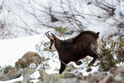
Chamois mâle en hiver - Christophe Albert - PNE  Fauna
FaunaChamois
Fontenil valley represents a quiet territory for the chamois. Situated in the heart of the national park outside the pastoral areas, this itinerary is only used by hikers. The National Parc national carries out annual health monitoring on the chamois population.
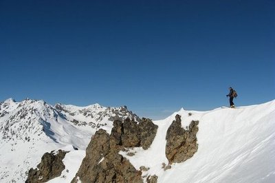
Vue depuis le Pic du Lac du Combeynot - Claire Broquet  Panorama
View of the Briançonnais
Arriving at Combeynot lake is a reward for the eyes. Facing you is, the Tête du Vallon (3059 m) which dominates the lake. Turn around and make the most of the view of the Briançonnais, with Pic de Rochebrune as a backdrop.
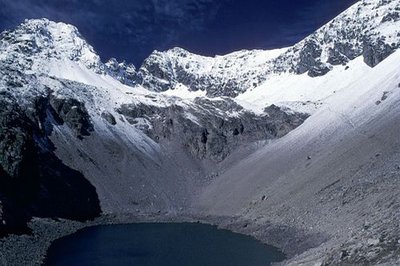
Lac de Combeynot - Jean-Pierre Nicollet - PNE  Lake
LakeCombeynot Lake
Combeynot Lake is a glacial lake, metres deep, behind a cross cliff. Sometimes the water disappears in Autumn, like in 1976, and more regularly in these last few years. These waters are unusual in that they do not shelter any aquatic species. What a hostile environment!
Forecast
Altimetric profile
Sensitive areas
Golden eagle
- Impacted practices:
- Aerial, , Vertical
- Sensitivity periods:
- JanFebMarAprMayJunJulAug
- Contact:
- Parc National des Écrins
Julien Charron
julien.charron@ecrins-parcnational.fr
Recommandations
No water on this path, take 2 litres per person. The itinerary is indicated on the signposts marked « porte du Parc national » which can be found near the carpark.
 In mountain pastures, protection dogs are there to protect the herds from predators (wolves, etc.).
When I hike I adapt my behavior by going around the herd and pausing for the dog to identify me.
Find out more about the actions to adopt with the article "Protection dogs: a context and actions to adopt".
Tell us about your meeting by answering this survey.
Information desks
Information center "le Casset" (summer only)
Le Casset, 05220 Le Monêtier-les-bains
At the entrance of the hamlet of "le Casset" and near the core zone of the Park, a stop before or after your walk... Projections, documentation, books of the Park. Free admission. All animations of the Park are free unless otherwise stated.
Transport
Bus Grenoble - Briançon : stop at Lauzet (LER 35).
Access and parking
Leave the D1091 down from Lauzet hamlet, direction les Boussardes.
Parking :
Source

Report a problem or an error
If you have found an error on this page or if you have noticed any problems during your hike, please report them to us here:


