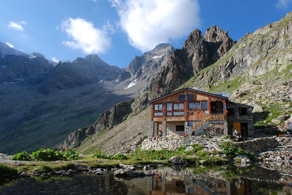
4. From the Refuge du Clot Xavier Blanc to the Refuge du Pigeonnier
The transition from valley to high mountain terrain is stunning. You see the plant kingdom gradually giving way to the mineral kingdom.
Tommy Bulle
Description
- Cross the mountain stream Le Gioberney via a footbridge and you come to the hamlet of Le Clot. All that remains of this hamlet is a restored house for the shepherd. The path runs through a small meadow. It is closed in by two stone walls which at one time served to prevent animals from straying from the path and grazing the crops on their way to the alpine pastures.
- A little further on, leave the GR54 and climb up to the left to join the path called the Sentier du Ministre.
- When you reach it, head towards the Chalet Hôtel du Gioberney, which can be made out clearly from here. The path is flat, but be alert as the slope is very steep. Enter the Le Crépon car park, which is the start of the Sentier du Ministre. This is located at the southern end of the car park which runs along the edge of the road to the Chalet Hôtel.
- The path follows the road for a short distance, cross it and pass almost underneath the Voile de la Mariée waterfall.
- From here, you reach another car park which is the starting point of the path to the Refuge du Pigeonnier, at the signs marking the entrance to the Parc National des Écrins. The path heads due south along a very flat stretch before rising through some steep twists and turns and then levels out again. Cross the footbridges and after a winding section you reach the refuge, overlooked by the southern face of Les Rouies.
- Departure : Refuge du Clot Xavier Blanc
- Arrival : Refuge du Pigeonnier
- Towns crossed : La Chapelle-en-Valgaudemar
7 points of interest
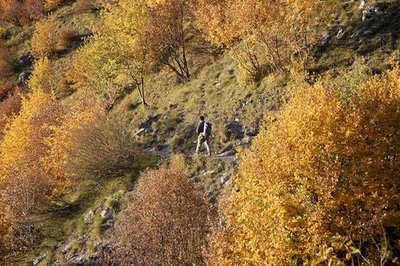
Randonneur sur le sentier du Ministre - Dominique Vincent - PNE  History
The Minister's footpath
A strange name for a footpath... Two explanations are given. The first, simply suggests that a minister inaugurated, or at least used, the footpath. The second, which is more likely, explains that donkeys were also known as ministers. Indeed, these animals were priceless to peasants of the time and they were pampered and treated accordingly. This path, which is mostly flat would have been well suited for them, and it would seem logical that it was given this name.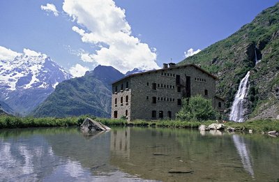
Le châlet-hôtel du Gioberney - PNE - Bodin Stéphane  Hut
HutChâlet-hôtel in Gioberney
The construction of the chalet-hôtel at Gioberney started during the Second World War as part of a youth project. It enabled some young people the possibility of escaping obligatory work service in Germany (STO). The stones for the building were taken on the spot, cut and put together using cement mortar. At that time the road to Gioberney did not yet exist, and would only be built in 1963. You had to go up on foot, for « tired intellectuals », it was possible to be helped by a mule in order to reach the refuge. There was not much frequentation until the construction of the road...

 Fauna
FaunaNorthern Bat
The Northern Bat is a boreal bat, a glacial relict in the Alpine arc. Adapted to the cold, it resists temperatures close to -7°C for short periods of time. The Northern Bat is a discreet species that lives in boreal forests scattered with humid areas. It sometimes hunts near to public lighting, one of the only places where it is easy to observe it. The capture of females at this site has enabled us to believe in the presence of a colony at Gioberney. It would be the first known reproducing colonies in France.
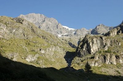
Le sommet des Rouies vu de Gioberney - Dominique Vincent - PNE  Flora
FloraThe different environments
From an altitude of between 1600 m to 2450 m, this itinerary invites you to cross different kinds of environment. Blueberry bushes and rhododendrons on the minerals of the scree slope, the green larch pastures, and this trip will be punctuated by different environments with their specific flora and fauna.
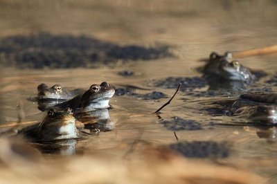
Grenouilles rousses - Jean-Philippe Telmon - PNE  Fauna
FaunaCommon frog
Sometimes in the water, sometimes out of it, this is the amphibian of the summits. With the Alpine Newt, it occupies the smallest puddle of water up to the most impressive altitudes. (2800 m). In a state of lethargy during more than 8 months of the year due to the bitter winter it is a symbol of adaptability to altitude. In the winter it burrows into the mud or slides out of the water under leaves, a tree stump or a rock to shelter from the frost.. It lays up to 4000 eggs on average, since it is confronted with climatic conditions and predators (newts, fish...), only a few individuals will reach adulthood in order to ensure the sustainability of the population. A real example of adaptability at altitude !
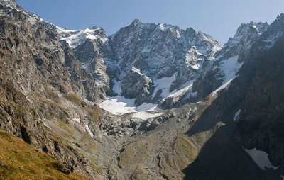
Glacier de la Condamine - Olivier Warluzelle - PNE  Glacier
The glaciers
Gioberney glacial cirque offers a 180° panorama of the magnificent Rouies glaciers, the Condamine at the foot of the Bans... Today, in retreat, (the polished glaciers remain as slabs smoothed by the erosive action of these ‘ice monsters’) a witness to their past.
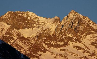
Les Bans et le pic des Aupillous - Dominique Vincent - PNE  Top
TopThe summits
At the bottom of Valgaudemar, this loop enables you to fully appreciate « Himalayas of the Alps ». This cirque du Gioberney is topped with superb summits easily more than 3000 m altitude. From the west to the east, The Rouies and their 3589 m, the Pic du Says (3420 m), the Mont Gioberney (3352 m),the Pointe Richardson (3312 m), the famous Bans (3505 m) and the Aupillous at 3458 m. With three glacial cirques which blend in to one and its high summits, one really touches the domain of mountaineering here.
Forecast
Altimetric profile
Information desks
Valgaudemar Park house
Ancien Asile Saint-Paul, 05800 La Chapelle-en-Valgaudemar
Information, documentation and a reception area with permanent and temporary exhibitions. La Maison du Parc is labeled "Tourism and Disability". Free admission. All animations of the Park are free unless otherwise stated.
Transport
www.05voyageurs.com between Gap and La Motte en Champsaur
Possible connection with the Gap-Grenoble coach
Source

Report a problem or an error
If you have found an error on this page or if you have noticed any problems during your hike, please report them to us here:

