Rame circuit (no. 10)
Description
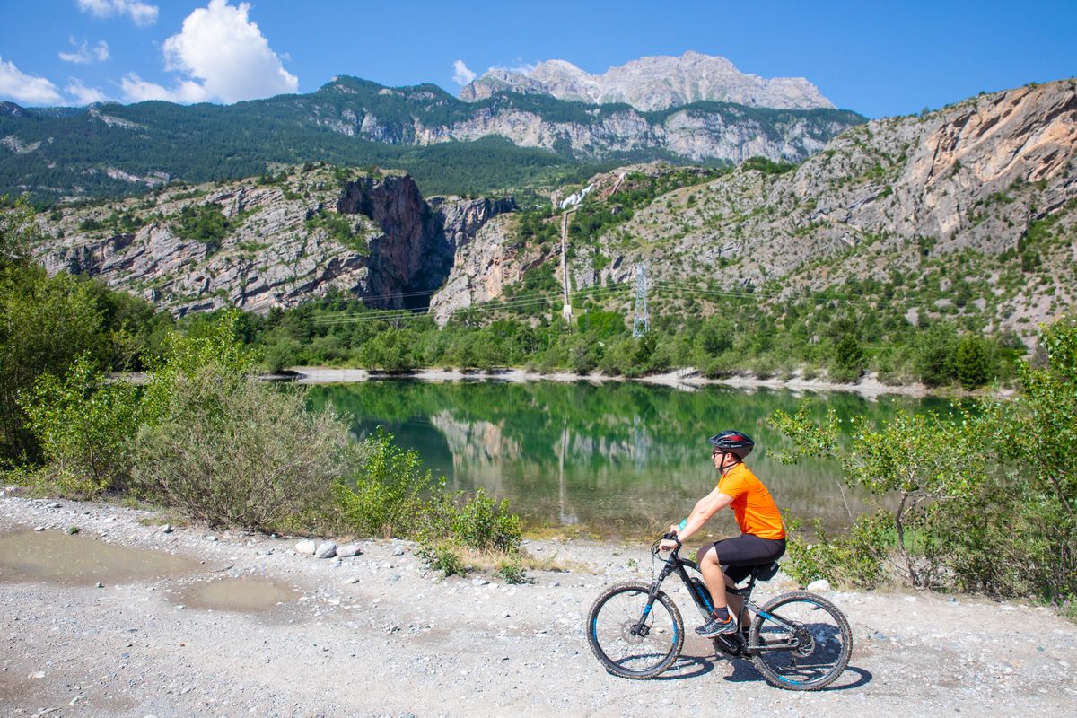
The route starts just next to the hydroelectric power station. Head due south and go across the bridge spanning the Biaysse.
- Turn left after the bridge and follow the track
- At the other side of the plain, take the track on the left which leads back towards your starting point
- At the car park, continue along the road due north and leave it 300 metres further on, taking [a track] on your right
- At the intersection of the tracks, turn right along the Durance. Go around the right-hand shore of the lake which brings you back to your starting point
- Departure : Hydroelectric power station near the chapel in Rame, Champcella
- Arrival : Hydroelectric power station near the chapel in Rame, Champcella
- Towns crossed : Champcella
5 points of interest
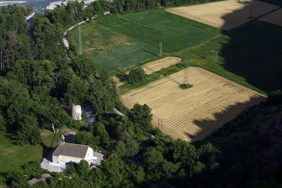
Plaine de Rame et la Chapelle pris de la cime des Rampes - Jean-Philippe Telmon - Parc national des Écrins  History
The lost village
In ancient times, the Durance valley was a key communication corridor. Rama was a kind of staging post on the Roman road. In the Middle Ages, Rama was a small town with a noble's château. But the village was devastated by the capriciousness of the Durance and the Biaysse rivers on numerous occasions and the inhabitants gradually deserted the site, moving to neighbouring villages. The attachment of the parish of Rame to that of La Roche in 1446 is indicative of this decline.
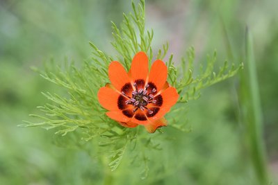
L'adonis d'été - Coulon Mireille - Parc national des Écrins  Flora
FloraThe summer pheasant's-eye
The history of plants is fascinating. A large number of messicole plants (those associated with crops), like the poppy and the cornflower, arrived from the Mediterranean basin or the Middle East as seeds, mixed with cereal seeds, as far back as the very first trading activity in prehistory. Unfortunately, herbicides have led to their virtual disappearance and mountain farming has become their last refuge. And so the summer pheasant's-eye, with its splendid but discreet flowers, still grows here.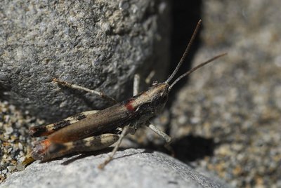
Le criquet des iscles - Coulon Mireille - Parc national des Écrins  Fauna
FaunaThe gravel grasshopper
This species of grasshopper favours islands of gravel, sand banks, and the edges of meandering mountain streams. These habitats are increasingly rare because rivers have been reworked, dammed up or dredged for gravel extraction. So this grasshopper, along with several others, has become critically endangered. The Durance population is one of the few remaining populations in Europe.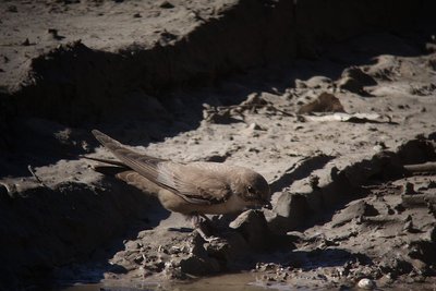
L'hirondelle de rochers - Combrisson Damien - Parc national des Écrins  Fauna
FaunaThe crag martin
They first appear in the Pays des Écrins from late February, so it's true to say that they don't bring the spring! Brown with a beige underside, as their name suggests they nest on crags and cliffs. It is the most common species of swallow in the mountains and is present up to an altitude of 2,500 metres. They are partially migratory, overwintering in the south of France where they join resident colonies.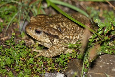
Le crapaud commun - Corail Marc - Parc national des Écrins  Fauna
FaunaThe common toad
This large toad only lives in the ponds during the spawning season, leaving its long strings of toad spawn in the water. So here in the artificial Lac de Rama it has found a habitat to ensure its survival. After the spawning season, it returns to the cool, wooded areas where it hunts small invertebrates at night and spends the day hiding underneath wood or stones or in underground crevices. In hibernates in cavities, protected from freezing temperatures.
Forecast
Altimetric profile
Recommandations
Rescue services contact details: Secours Montagne(Mountain Rescue): +33 (0)4 92 22 22 22 or 112
Take your litter home
Do not take shortcuts across pasturelandInformation desks
Vallouise Park house
, 05290 Vallouise
Information, documentation, models, exhibitions, screenings, product sales and works of the Park. Guided tours for school, reservation required. The new Park House opened in Vallouise since June 1, and offers visitors an interactive permanent exhibition inviting to explore the area and its heritage. A temporary exhibition space will allow a renewed offer. Finally, the device is completed by an audiovisual room to organize screenings and conferences Free admission. All animations of the Park are free unless otherwise stated.
23 Avenue de la République, 05120 L'Argentière-La Bessée
Transport
Public transport >> www.pacamobilite.fr
Consider car-sharing >> www.blablacar.fr
For more information, ask at the Tourist Information Office nearest to the trail starting point >> www.paysdesecrins.com
Access and parking
Parking :
Source

Report a problem or an error
If you have found an error on this page or if you have noticed any problems during your hike, please report them to us here:


