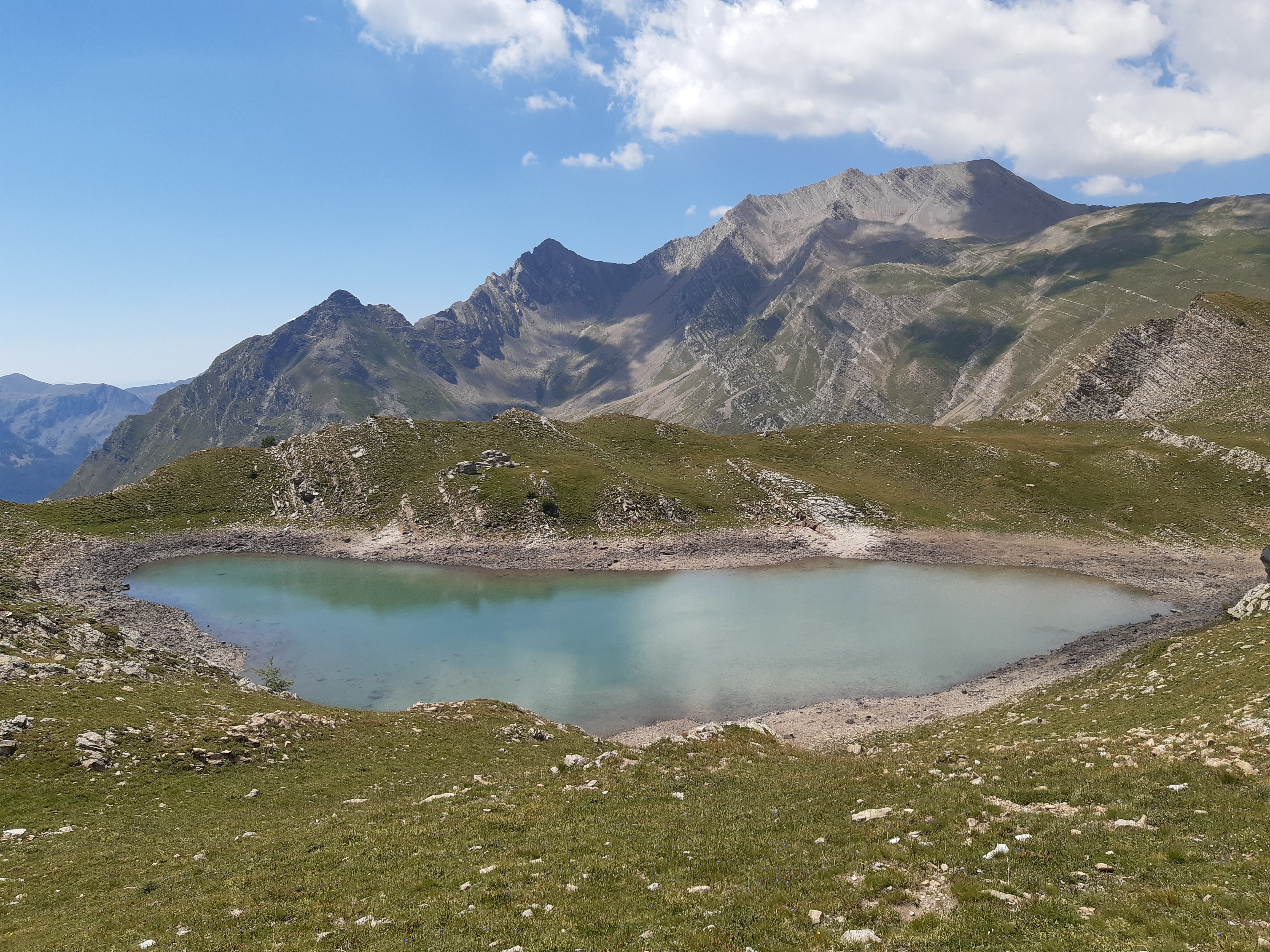
Lake Brun
A hike with a beautiful view of the terraced vegetation in the mountains. The south-facing exposure at the beginning of the hike means you pass by deciduous trees, which are soon replaced by conifers, particularly larches. The vegetation becomes sparser, characteristic of alpine meadows, as you approach 2,000m in altitude, after which the landscape becomes more rocky in the final meters leading to the lake.
Description
Take the road that climbs in front towards the Reyssas stream, then continue on the track. Continue left uphill when the path splits in two, then left again 50m later.
- After a few hundred meters, turn left, then almost immediately right onto a small path towards Lake Brun and the Reyssas pass. Follow the winding path to the intersection marked by the Clot l'Herbous sign. Follow the signs for the Alpage de Reyssas.
- Once in the pastures, a sign points to Lake Brun. Turn right and climb through the pasture along the stream.
- A steeper section follows. After this section, cross some wet grasslands with a stream, then take a final ascending path before the flat area that leads to the lake.
- Departure : Les Méans, Réallon
- Arrival : Les Méans, Réallon
- Towns crossed : Réallon
Forecast
Altimetric profile
Information desks
Tourist office Réallon Station
Pra Prunier, 05160 Réallon
July and August : Monday to Friday : 9.00 -13.00 and Saturday 13.00 - 17.00
From mid-December to March : Monday to Sunday :9.00 - 12.30 & 14.00 - 17.00
Transport
Public transport : ccserreponcon.com
Access and parking
Follow the D9 from Embrun or the D641, then the D741, which joins the D9 from Savines Le Lac.
Parking :
Source

Report a problem or an error
If you have found an error on this page or if you have noticed any problems during your hike, please report them to us here:

