
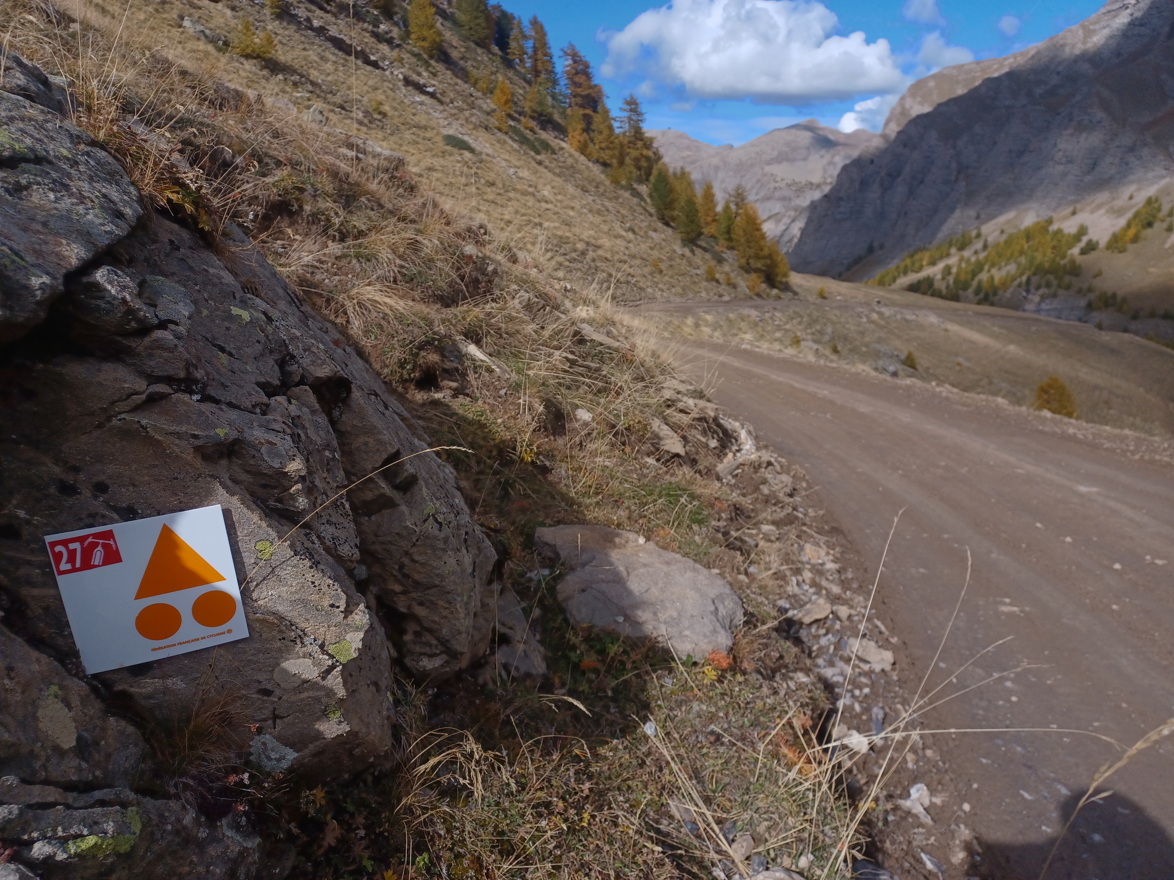
Loop 27 - The Col du Parpaillon
 Medium
Important information
Dans le Parc national des Écrins, les sentiers sont généralement praticables de la mi-juin à fin septembre.
Toutefois, les périodes d'accessibilité des itinéraires et les dates de pose des passerelles varient d’une année à l’autre en fonction de l’enneigement, des dégâts survenus en hiver et des conditions météorologiques. Par ailleurs, l’état des sentiers n’est pas contrôlé quotidiennement et peut évoluer rapidement après un évènement météorologique (orage, crue...). Il est nécessaire de se renseigner auprès des maisons du parc national et des offices de tourisme du territoire avant votre sortie. Pendant la randonnée, en cas de passage dégradé ou dangereux, faites demi-tour et signalez-le.
Description
2) At the bend go straight on (stony climb). At the bend in the road (D39T), turn right. At the picnic area, continue straight ahead.
3) At the Parpaillon tunnel, go through the tunnel (you will need lights) and turn around to go back down to Crévoux. Follow the route taken on the outward journey back to the village of Crévoux.
- Departure : Crévoux
- Arrival : Crévoux
- Towns crossed : Crévoux
2 points of interest

 History
Crévoux
Nestled amongst peaks approaching 3,000m, such as the Grand Parpaillon and Pic Saint André, the village of Crévoux occupies a deep valley that has seen the establishment of several hamlets, including La Chalp, which extends over a narrow alluvial terrace. Once at the heart of a major craft industry, with the rise of basket-making and cabinet-making, the village now revolves around its small ski resort, created in 1937, making it one of the oldest in the Hautes-Alpes.- History
Cabane des Espagnols
This hut is a memorial to the Spanish refugees who were mobilised in Crévoux to maintain and repair the Parpaillon road, a militarily important road in those troubled times. The Spanish camp at Crévoux was set up in 1939, on the eve of the Second World War and in the twilight of the Spanish Civil War, which saw Franco's victory and the flight of many Spanish republicans to France.
Forecast
Altimetric profile
Recommandations
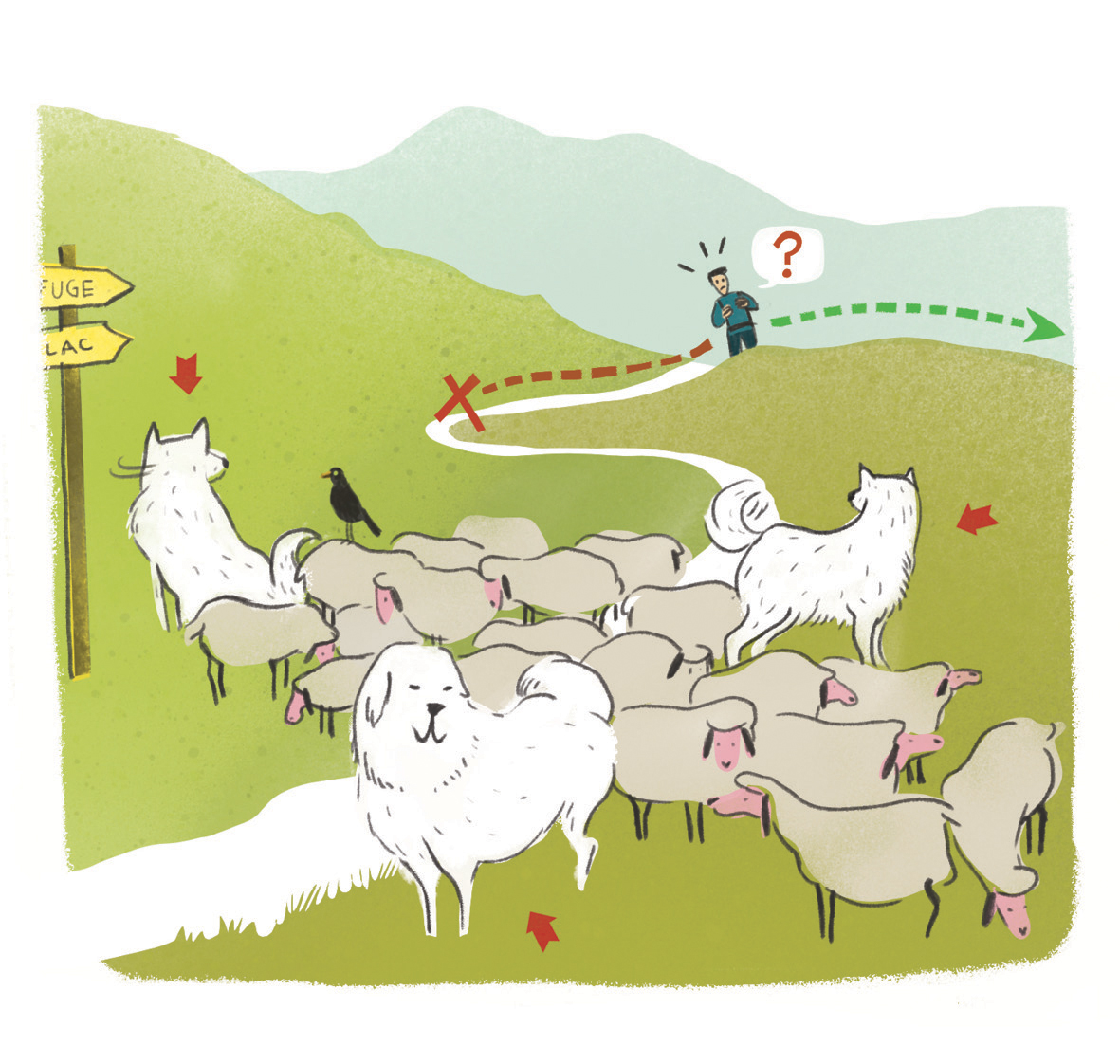 In mountain pastures, protection dogs are there to protect the herds from predators (wolves, etc.).
When I hike I adapt my behavior by going around the herd and pausing for the dog to identify me.
Find out more about the actions to adopt with the article "Protection dogs: a context and actions to adopt".
Tell us about your meeting by answering this survey.
Information desks
Tourist office Embrun
Place Général Dosse - BP 49, 05202 Embrun
October to march : Monday to Saturday, 9.00 - 12.30 & 13.30 - 17.00.
April, may, june & september : Monday to Saturday, 9.00 - 12.30 & 14.30 - 18.00
July and August : Monday to Saturday, 9.00 - 19.00. Sundays, 10.00 - 12.30 & 16.00 - 19.00
On French national holidays (except 14th of July and 15th of August) : 9am to 1pm. Closed on the 1st of January, 1st of May, 25th December and 11th November
Closed on Thursdays outside French holidays’ periods
Transport
Bus: Valserres, La Bâtie Neuve, Chorges, Puy Saint Eusèbe, Puy Sanières, Embrun Baratier, Les Orres, Remollon, Theus, Espinasse
Marseille-Briançon : (LER29)
Marseille, Nice : Lignes Express Régionales (LER) +33 (0)809 400 415
Grenoble : Transisère +33 (0)4 26 16 38 38
Gap-Barcelonnette (LER535)
Carpooling area : Rond point des Orres ‒ 05200 Baratier
Plane :
Marseille Provence Airport (188km) - +33 (0)820 811 414
Grenoble Alpes Isère Airport (158km) - +33 (0)4 76 65 48 48
Lyon Saint Exupéry Airport - (203km) +33 (0)826 800 826
Turin Caselle Airport - (178km) + 39 011 567 63 60
Access and parking
From Marseille, Montpellier A51 to La Saulce, continue towards Tallard (D942) and Briançon (RN 94).
Parking :
More information

Source

Report a problem or an error
If you have found an error on this page or if you have noticed any problems during your hike, please report them to us here: