Les Eygoires to Pierre Arnoux
Description
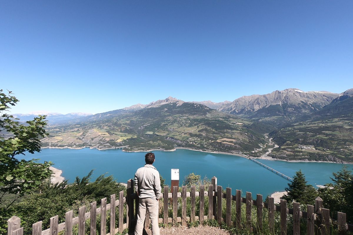
From the car park, take the track opposite which leads into the forest. After a few metres, take the path on the left. At the next intersection, head right towards Pierre Arnoux. At the next intersection, go straight ahead. Turn left onto the forest road ("La route forestière") and a few metres further down, take the path on the right (1). Follow the GRP (regional long-distance trail) route and then at the next intersection take the track on the right. You return to the forest track and turn right. A short distance further up, take the path on the left. Continue through the forest and when you come to the track again, go right and then take the path opposite (there-and-back walk to the spring). When you come to the top of the clearing, you have reached Pierre Arnoux. Make a there-and-back detour to the belvedere by going to the left of the mountain refuge. Back at the refuge, go along the silver birch walk to return to the car park. Then, turn left at the place called « l'Empouyère » (2)
When you come to the spring, take the downhill track on the left (3). At the forested track in the forest of the district of Savines-le-Lac, cross the track and continue straight ahead. Cross the track again and go straight ahead. At the next intersection, when you come to the fitness trail amenities, turn right. (4) Then take the wooden walkway on the left. Go past the water storage facility and the aqueduct. Immediately after this, take the path on the left which follows the water course. When you reach the Savines-le-Lac road, go left. Follow the path that runs along the right-hand side of the road for 1 kilometre, which brings you back to the car park.
- Departure : Les Eygoires
- Arrival : Les Eygoires
- Towns crossed : Savines-le-Lac
5 points of interest
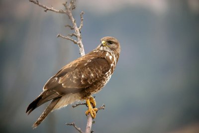
Buse Variable - Damien Combrisson - PNE  Flora
FloraCommon Buzzard
Very common in wooded areas. It can be around 55 cm long with a wingspan of 1.30 m. This bird of prey feeds mainly by hunting, allowing it to catch small mammals, reptiles and amphibians. The breeding season begins in February. The female lays around 3 or 4 eggs. In the brooding period, the male feeds the female and replaces her when she is absent.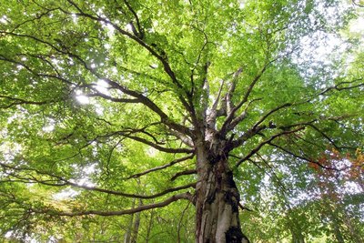
Hêtre - Ludovic Imberdis - PNE  Flora
FloraBeech
To thrive, it needs a moist atmosphere and well-drained soil. It can grow up to 40 m in height. Beech is distinguished by its smooth, grey trunk. Its branches are horizontal and its oval leaves have wavy edges with cilia. The pyramid-shaped fruits, known as beechnuts, are contained in a spiky husk that opens in early autumn. Beech is also commonly known as "fayard".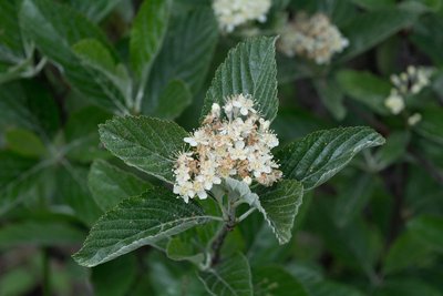
Alisier Blanc - Mireille Coulon - PNE  Flora
FloraWhite Birch
This is a beautiful tree that can reach 15 m in height. Its leaves can be identified by the white tomentose down on the underside. Its white flowers are grouped together in an inflorescence and bud fruit called "alises", which appear at the end of summer. This species likes a lot of light and tolerates dry conditions well. It can be found in open woods and on sunny, even rocky, dry slopes in the mountains.
.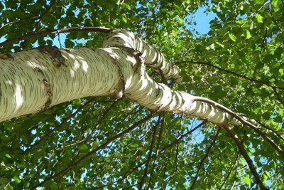
Bouleau Verruqueux - Blandine Delenatte - PNE  Flora
FloraSilver birch
This tree can grow up to 25 m tall and is recognisable due to its white bark, warty twigs and weeping aspect (drooping twigs). In the Champsaur, birch sap is extracted using the Canadian method to make a drink rich in sugars and trace elements. Used by mankind for centuries, especially in Nordic countries, it was once considered a miraculous tree thanks to its host of medicinal and food uses.
 Geology and geography
Limestone outcrops
This very specific geological form always attracts the curious. You can get up close and admire their distinctive shapes, right in the middle of the forest. Their appearance can be explained by an accumulation of limestone in the stream water, which is highly concentrated. This settles and petrifies various elements such as moss and twigs.
Forecast
Altimetric profile
Information desks
Tourist office Savines-le-Lac
9 Avenue de la Combe d'Or, 05160 Savines-le-Lac
October to march : Monday to Saturday, 9.00 - 12.30 & 13.30 - 17.00.
April, may, june & september : Monday to Saturday, 9.00 - 12.30 & 14.30 - 18.00
July and August : Monday to Saturday, 9.00 - 13.00 & 15.00 - 19.00. Sundays, 10.00 - 13.00 & 15.00 - 18.00
Closed on French national holidays, except 14th of July, and 15th of August
Closed on Thursdays outside French holidays’ periods
Transport
Public Public transport: www.pacamobilite.fr
Consider car-sharing: www.blablacar.fr
Access and parking
Parking :
More information
Source

Report a problem or an error
If you have found an error on this page or if you have noticed any problems during your hike, please report them to us here:

