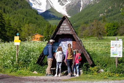
Destination Parc national des Écrins
EN
EN
FR
IT
Search
Menu
Filters
1
Practice
Practice
By walk
Mountain bike
Trail
Others
Is in the midst of the park
Herd protection dogs
Herd protection dogs - ATV
Ascent
0 - 500m
500m - 1km
1km and more
Difficulty
Very easy
Easy
Medium
Hard
Duration
0 - 1h
1h - 2h
2h - 5h
5h - 10h
Length
0 - 5km
5km - 10km
10km - 15km
15km - 50km
Type
Loop
Return trip
Crossing
Descent
Accessibility
Wheelchair
Joelette
Stroller
Family
Themes
Themes
Fauna
Flora
Panorama
History and architecture
Pastoralism
Geology
Lake and glacier
Top
Hut
Pass
Localization
Localization
City
District
Briançonnais
Champsaur
Embrunais
Oisans
Parc national des Ecrins
Valbonnais
Valgaudemar
Vallouise
Clear all
153 results
153 results practice: By walk
1
Filter
Search
Search
Display Map
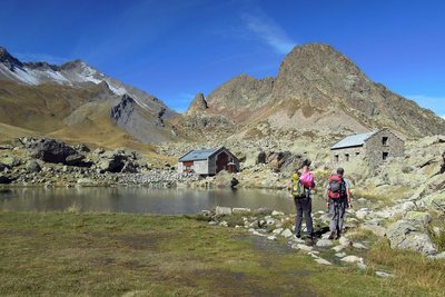
Refuge de l'Alpe de Villar d'Arène - Thibaut Blais - Parc national des Ecrins
By walk
Villar-d'Arêne
Crossing from Lautaret to Alpe de Villar
Flora
Hut
Medium
4h30
13km
+279m
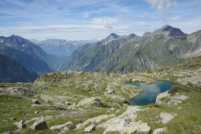
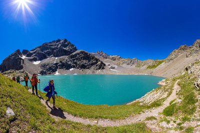
Lac de Crupillouse enneigé - Jean Pierre Nicollet - PNE
By walk
Champoléon
Crupillouse Lakes
Fauna
Geology
Lake and glacier
Hard
6h
15,7km
+1380m
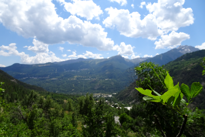
Vue sur la vallée de Vallouise - Office de tourisme Pays des Écrins
By walk
Vallouise-Pelvoux
Exploring the hamlets of Vallouise and Pelvoux
Fauna
Flora
Easy
5h30
11,1km
+348m
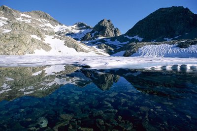
Lac de l'Eychauda - Bertrand Bodin - Parc national des Ecrins
By walk
Vallouise-Pelvoux
Eychauda Lake
Fauna
Lake and glacier
Pastoralism
Medium
5h
11,7km
+823m
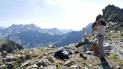
Col de Font Froide - Bernard Guidoni - Parc national des Ecrins
By walk
La Motte-en-Champsaur
Font Froide Mountain Pass
Fauna
Geology
History and architecture
Hard
7h
15,3km
+1355m
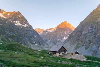
Randonneur au refuge de Vallonpierre - Ludovic Imberdis - PNE
By walk
La Chapelle-en-Valgaudemar
From Chabournéou to Vallonpierre on the Minister's footpath
Fauna
Geology
Hut
Medium
5h
16,5km
+863m
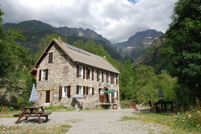
Refuge Xavier Blanc - Dominique Vincent - PNE
By walk
La Chapelle-en-Valgaudemar
From la Chapelle to Clot by the GR 54
Fauna
History and architecture
Medium
4h30
14,7km
+445m
Départ de la randonnée au Casset - Kinaphoto - Parc national des Ecrins
By walk
Le Monêtier-les-Bains
From Le Casset to Le Lauzet
Fauna
History and architecture
Easy
3h
8,5km
+182m
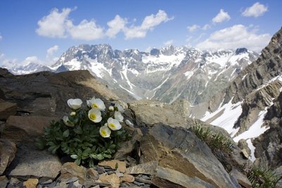
Renoncules des glaciers - PNE - Corail Marc
By walk
Orcières
From the Drouvet summit to Prapic
History and architecture
Lake and glacier
Pastoralism
Medium
5h30
14,2km
+241m
Lac du Lautier - Ludovic Imberdis - PNE
By walk
Villar-Loubière
From Villar-Loubière to La-Chapelle-en-Valgaudemar
Fauna
Lake and glacier
Pastoralism
Hard
7h
14,8km
+1405m
Previous page
Next page
Loading

 Hard
Hard